Time to Train for the Summertime Adventures

AKA: There Will Be Sweating

Lower Ice Lake – Colorado

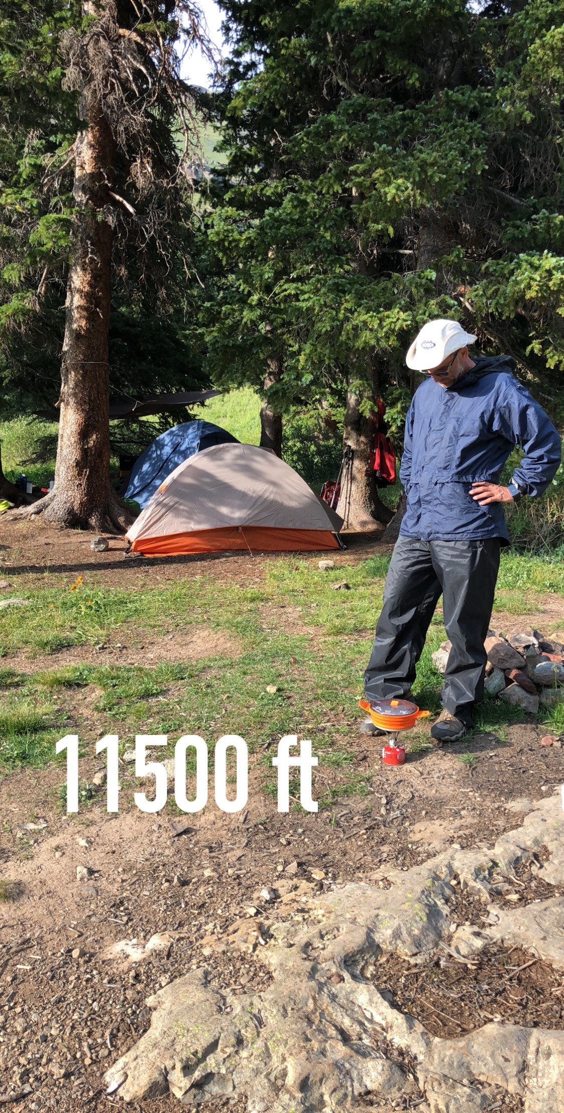
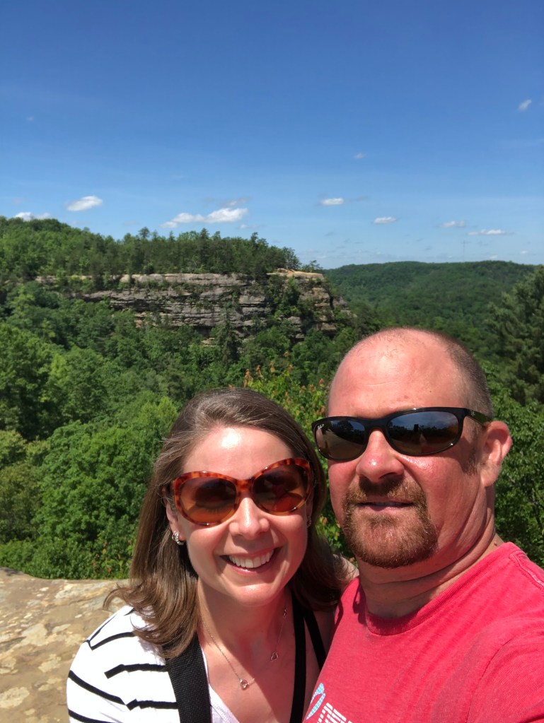
The yearly Colorado backpacking trip can be a challenge, mainly because of the altitude. Coming up from Phoenix, AZ (elevation 1086’), makes for a tough first few days. I like to enjoy myself as much as possible, call me crazy, so being fit is the only way to get past the altitude problem. The main challenge during the summer in Phoenix? You guessed it, it’s hot. The good news: as long as you don’t mind early mornings Phoenix is a great place to train outdoors year-round. As I’ve gotten older the heat has started to effect me more and more, and every summer the news is filled with stories of people taken down while hiking in the heat, so you need to be careful and hydrate, hydrate, hydrate. I’ve got another Grand Canyon hike coming up in September as well, so being hiking fit and well acclimatized to the heat is required!

I try to make it to the gym for some strength training twice a week, get in at least one swim, and a hike or bike ride. Usually on my hikes I run the flat parts and try to hike quickly up the steep sections.

I’m not really a fan of training with my pack on, I prefer to just work on overall fitness, so that I’m prepared for the adventures I have planned and anything else that might pop-up. Last year there was some suffering on the uphill hikes, perhaps my plan needs some adjustments…


Summer Fitness Goals


I am fortunate to live right next to South Mountain Park, the largest municipal park in the United States, and a fantastic collection of trails for hiking, mountain biking, and in general enjoying the outdoors. I love the fact that in my neighborhood I’m surrounded by other active people who like to enjoy the excellent outdoor recreation opportunities that Phoenix provides.

The map below shows all the trails and such.


Pyramid Trail is my standard training hike, a mile of slightly up, then a mile of lots of up!

Pyramid Hike

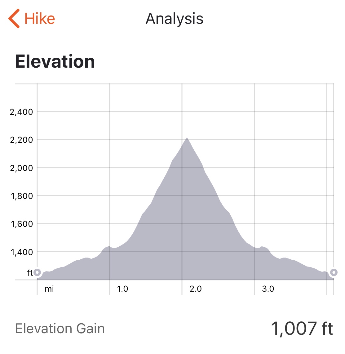
Once you get up to the top you can add some fun mileage by traversing the ridge line all the way around and descend a few different ways. The ridge is great for running, a nice rolling single track!

Pyramid – National – Lost Ranch
Panorama of the Area 620 Trails

I try put together some videos of various adventures, check’em out!

Have any great training tips? Feel free to share!

Touring around the Old Stomping Grounds

On our 3 trips to Kentucky together my wife had never been to the Red River Gorge. We were in Kentucky this time as a quick trip for my nephew’s graduation, and since we had some time on Monday we made the hour drive down the Bert T Combs Mountain Parkway. Back in the early 90’s rock climbing was my passion, and the Red was the mecca of sport climbing for me and my friends.

We didn’t have a whole lot of time and weren’t prepared for a long hike, so the sky lift to Natural Bridge and a little driving tour around seemed like the way to go.

Top of Natural Bridge

While the Appalachian nature of the area was a bit new for her, she totally enjoyed the beauty of the place. The trail to the one crag we were going to hike to was super muddy, so we didn’t get to any actual rock climbing areas, maybe next time.

The sky lift was a great choice, we got up to Natural Bridge without the uphill hike and then could just walk around on the short trails up there, cruised through Fat Man’s Squeeze, and took in the view.

Fat Man’s Squeeze
Underneath Natural Bridge
Looking across at Natural Bridge

We drove through the ‘burg of Nada. This was truly the the eye opening part, it’s a very different place than we’re used to now. But we did get to drive through Nada Tunnel, a one lane tunnel carved through the rock!

Since I was talking about rock climbing, I had to throw in one of the best rock climbing pics ever taken of me! (probably 25 years ago)

Snooker at The Motherlode

Grand Canyon Backpacking

In the 20 years that I had lived in Arizona I had been to the Grand Canyon once, and didn’t venture below the rim. I had heard such cool stories and seen many amazing pictures. I knew that I needed to experience it for myself, Fortunately, I was easily able to convince 2 friends to come along.

I applied a little late in the application time frame, but since it was an August date, not too much of a problem. We all live and recreate outdoors year round in Phoenix, So we’ve got that going for us, which is nice.

This was an awesome trip. Headed out from Phoenix around 10am, I love the excitement of leaving town for an adventure , you feel the city melt away! It’s about 4 hours from Phoenix, it’s a cool drive as you pass from the desert to high desert to mountains and back to high desert.

Approaching Skeleton Point

I Love This Sign

.The Heat Warning Sign

This sign is posted around the National Park Corridor Trails, it warns people of the challenging, extreme conditions hiking in the canyon can expose you to. While the warning is written in a few languages, I love the visual they gave to get the message across to almost anyone…

The Hike

We could not have gotten luckier with the weather, we hiked in the around 4ish. We parked at the Backcountry Information Center and had to hop 2 buses over to the South Kaibab Trailhead. It’s amazing the number of foreign visitor the canyon gets. On the second bus I didn’t hear a single word of English. The first mile or so of our hike we were surrounded by a group of younger Italians, after Cedar Point we saw very few people, just us and the awesome canyon views!

The Tip-Off
Bright Angel Camground

It was dark by the time we got to Bright Angel Campground, we quietly set up camp, around many sleeping people. We strolled over to Boat Beach to chill for a bit, so as not to make too much noise. The only bummer about the campground is how close the sites are to each other, but flat space is pretty limited down there. One huge highlight, a flush toilet!! Here’s my Garmin track from the hike in.

The next day we hiked up North Kaibab Trail for a ways, just exploring around and enjoying being in such an amazing place. After that we headed back to the campground and cooled off by sitting in Bright Angel Creek, sooo nice!

Bright Angel Creek

A little later we walked over to the Canteen at Phantom Ranch and enjoyed a couple beers, not something that happens too often while backpacking. We started talking to the guy working the counter there. Pretty interesting guy who lives in upstate New York. He had been retired for 5-6 years, his wife had retired just a few years ago and told him he needed to get a job, so he did… at the bottom of the Grand Canyon!

The Black Bridge from Boat Beach

We woke up pretty early the next morning, packed up camp and headed out for the Indian Garden campground about halfway up the Bright Angel Trail. This trail is completely different from South Kaibab, as it winds its way up through the natural weaknesses. Here’s my Garmin track from the hike to Indian Garden.

Bright Angel Trail

The hike to Indian Garden was a lot easier than I had expected. I suffered some at altitude in Colorado, apparently the altitude really kicked my ass because this entire hike felt relaxing. Indian Garden is another excellent campground. With ramadas and picnic tables at each campsite, it’s living in luxury!

Indian Garden Campground

We hiked out to Plateau Point for the view and it did not disappoint. Unfortunately for me the wind was kicking up and it looked like rain. I left my rain fly off to let the tent air out a little, so I got to run the mile and a half or so back to camp to get my rain fly on, good fun, I’m a genius!

After another even earlier wake up, we packed up and headed for the rim! The trail looks impossible when viewed from the campground but winds its way up though the weakness. The 3 rest-houses on the trail are great, nice little stops with water. Here’s my Garmin track from Indian Garden to the Rim. This was an amazing trip, and I can’t recommend it enough. I liked it so much I just faxed in my application for this September!!

Bright Angel Trail in switchbacks from Plateau Point