As the Colorado backpacking trip approaches it’s always nice to get in a little high-altitude training, so we headed up to Flagstaff to hike Humphreys Peak, the highest point in Arizona.
We left Phoenix just after 6am, making it to the Snowbowl parking lot around 9. The I-17 75 mph speed limit helps make the miles pass by.
We pulled into the trail-head parking lot at Arizona Snowbowl and got ready for the stroll. The Forest Service has a pop-up set up with a couple of rangers there to advise people on the trail and strenuous nature of the hike, a nice service.
Here’s the Arizona Snowbowl Webcam to give you a good view of the mountain!
We hit the trail and across the first ski run and into the trees we went. There were a number of people we started off with who we would end up yo-yoing past for most of the hike. The first half of the hike is in a beautiful pine forest, you just have step over lots of roots and rocks. After just a bit you pass the sign marking the start of the wilderness area.

About 1/3 of the way through the trees we started to run into some patches of snow, they were a little slippery but are easily crossed with the help of the trekking poles!

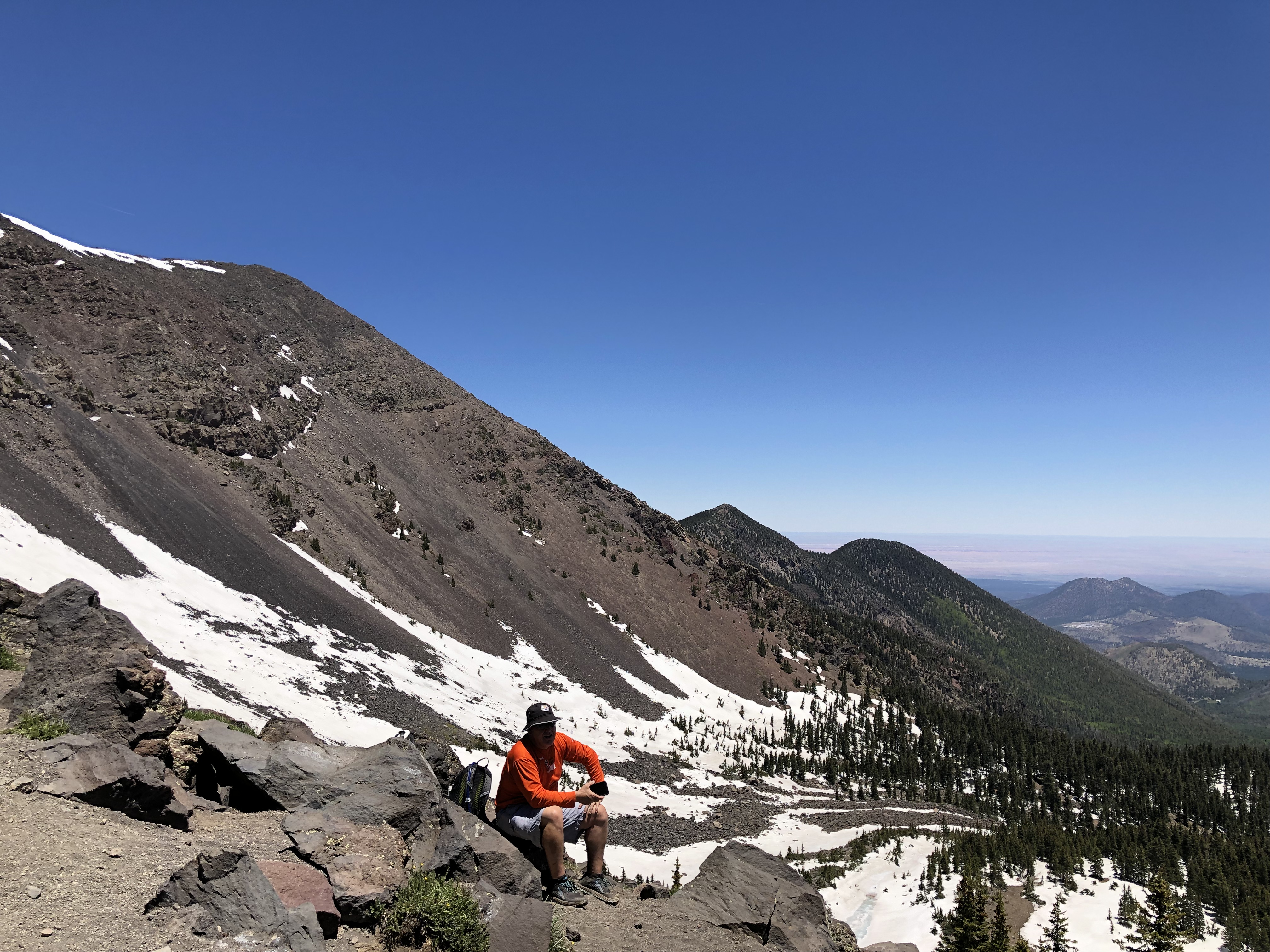
The steepness increases as you get closer to Agassiz Saddle, between Humphreys and Agassiz Peaks, but I love to get above treeline. It really feels like you’re in the big mountains once you get out of the trees. As long as I can remember I’ve always just trudged through the part of a hike in the trees but really get the stoke going once I’m up high!


We stopped at the saddle for lunch and a good rest break before heading up the ridge towards the summit. One thing about Humphreys is, never believe your looking at the summit until you’re standing on the top. My friend Bill was calling it Mt Liar because of all the false summits!


We hung out on top for a bit, talking with some other people up there. We all got a pic with the sign and headed out for the trek back to the truck. We saw quite a few people starting out in the later afternoon, still in the trees asking how far to the peak. I told them it was far.

It was a fun day in the mountains, unfortunately my Garmin said unsupported file format when I tried to upload, so no maps or cool data to pass along. I really wish if that was going to happen it would be on a short run around my house, not on a cool mountain adventure that took 8 hours! Overall, awesome day but it’s a haul up and back from Phoenix all in one day. Left my house at 5:30 AM, got back at 9:45 PM.
Leave a Reply